
Village Office
- Directions & Maps
- History & Heritage
- Mowachaht/Muchalaht Territory
- Mayor, Council & Staff
- Council Meetings
- Municipal Documents
- Village Employment
- Tahsis Future
- Contact Us
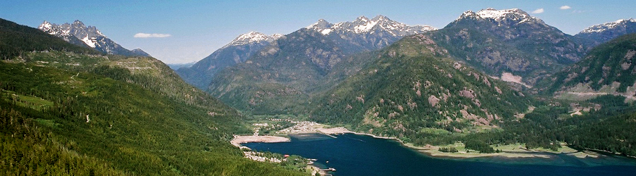
Tahsis Location

Village of Tahsis Municipal Office
977 South Maquinna Dr.
P.O. Box 219
Tahsis, BC V0P 1X0
Phone: (250) 934-6344
Fax: (250) 934-6622
Email: Reception
Tahsis Visitor Information Centre (Open July-Aug/31)
107 Rugged Mountain Rd.
P.O. Box 219
Tahsis, BC V0P 1X0
Phone: (250) 934 6425
Email: Info
Directions & Maps
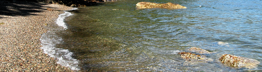
The Village of Tahsis is located on the west coast of Vancouver Island, in the heart of Nootka Sound. Tahsis can be accessed by road, water taxi, passenger ship, helicopter and seaplane. Pleasure craft can dock at a number of local docks and marinas.

Downloadable Maps
Tree To Sea Drive Map (pdf)Tahsis Area Trail Map (pdf)
Tahsis Street Map (pdf)
Vancouver Island Road Map (pdf)
Tahsis Driving Directions
Vancouver Island can be reached via ferry from Port Angeles, Seattle, Tsawwassen, Vancouver, Powell River and Prince Rupert. Schedule information is available from BC Ferries.
Once on Vancouver Island, follow the Island Highway (Hwy 19) to Campbell River. From Campbell River, it is approximately a 3-hour drive to Tahsis.
At Campbell River, turn west and take Hwy 28 to Gold River. At Gold River, you will see the Travel Info Centre and a large boot sculpture. At this point, just follow the road and watch for the signs directing you to Tahsis.
About three kilometers past the Travel Info Centre, the "Tree to Sea" drive to Tahsis begins. The road is 63.5 kilometers or approximately 40 miles. You should arrive in Tahsis within 60-90 minutes, depending on road conditions.
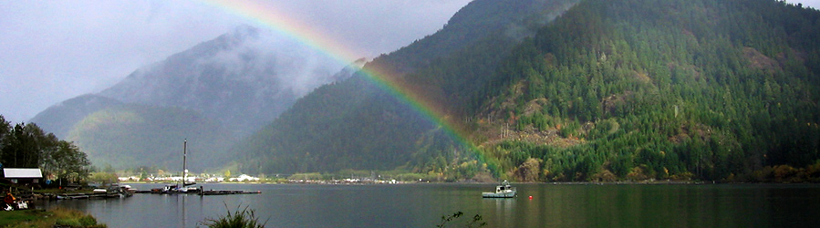
Tree to Sea Drive
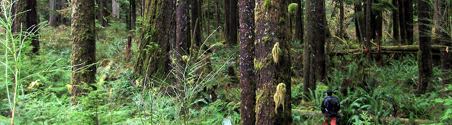
The road from Gold River to Tahsis features waterfalls, rivers, lakes, wildlife-viewing areas, picnic sites and many scenic vistas. The road is 40 miles (about 64 km) of well-maintained gravel road suitable for all vehicles. Four-wheel drive is only required after heavy winter snowfalls.

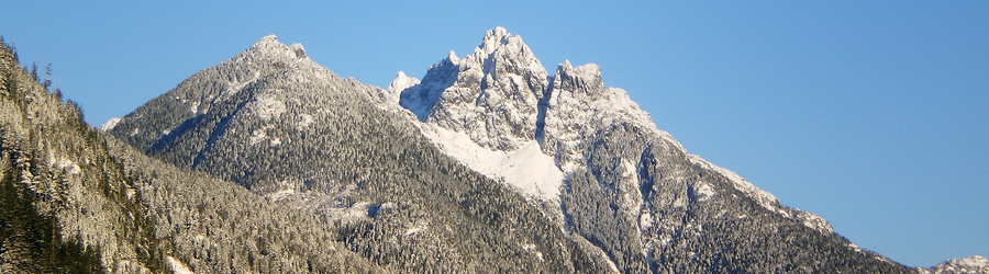
Bull Lake Summit is the highest point on the road, at 586 metres (1,922 feet). In summer, the road serves as the route for the Great Walk event.
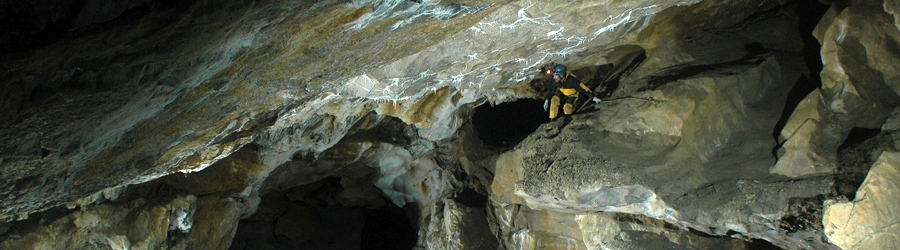
- Ecotourism stops worth visiting en route include: Cala Falls, Upana Caves, Painted Rock Lookout, Conuma River Hatchery, Moutcha Bay, Head Bay, Three Sisters Waterfall, Malaspina Lake and President's Tree.
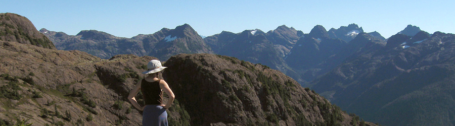
- Conuma Peak Viewpoint provides a view of 1,481-metre (4,860-feet) Conuma Peak. Look for the "Needles Eye" hole through the peak. A marked trail takes you to the tree line on the mountainside. You can also stop at the Conuma River Estuary Viewpoint, located 2.4 km from the Conuma River Hatchery towards Tahsis.
- Three Sisters Waterfalls can be viewed from the roadside between Head Bay and Tahsis. The falls originate on Malaspina Peak, falling from a height of 5,200 feet, and are most dominant during the spring runoff. The water flows into the Sucwoa River, thereby enhancing the return of native salmon fish stocks.
- President's Tree, also called "The Big Tree," is a huge Douglas Fir tree over 300 years old, known to many as the Welcome Home mat for people driving to Tahsis. The tree was set aside and dedicated to Tahsis Company president Jack Christensen in 1970.