
Visitors
- Directions & Maps
- General Information & Guides
- Annual Tahsis Events
- Lodging Options
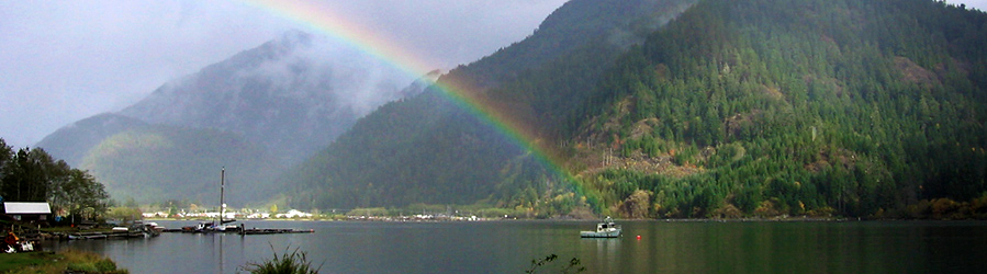
- Tahsis Ecotourism
- Surfing, Windsurfing & Kiteboarding
- Scuba Diving & Snorkeling
- Kayaking
- Walking In Tahsis
- Hiking In & Around Tahsis
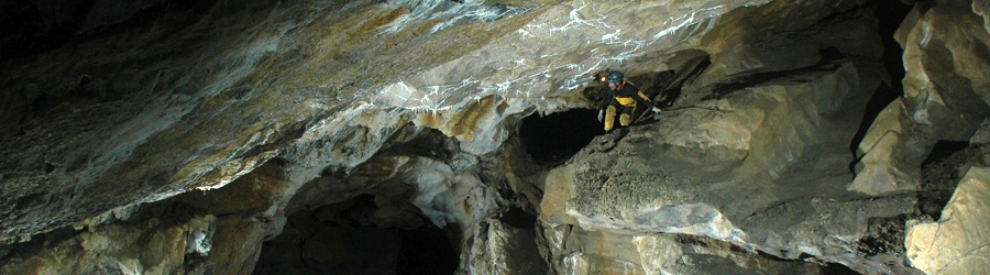
- Caving & Bouldering
- Sport Fishing
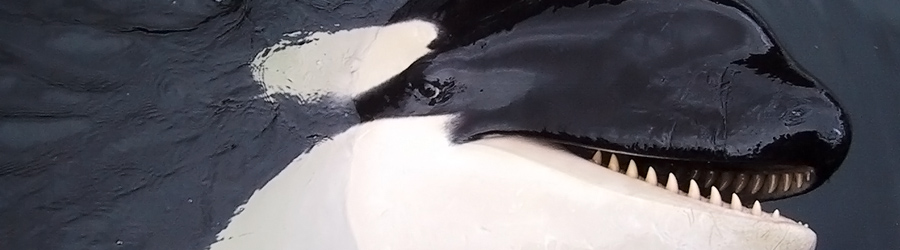
- Wildlife Viewing
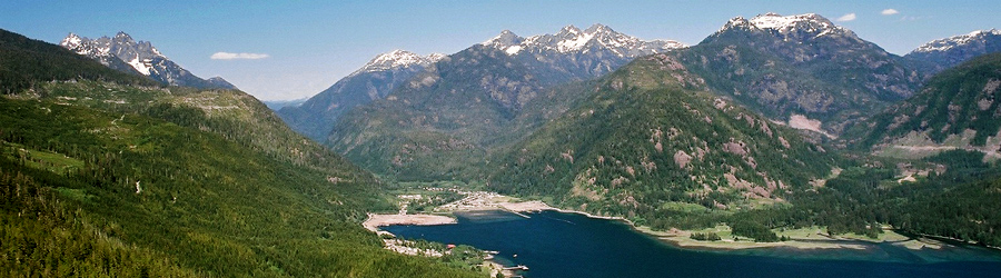
Tahsis Location

Village of Tahsis Municipal Office
977 South Maquinna Dr.
P.O. Box 219
Tahsis, BC V0P 1X0
Phone: (250) 934-6344
Fax: (250) 934-6622
Email: Reception
Tahsis Visitor Information Centre (Open July-Aug/31)
107 Rugged Mountain Rd.
P.O. Box 219
Tahsis, BC V0P 1X0
Phone: (250) 934 6425
Email: Info
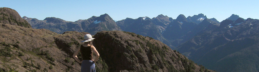
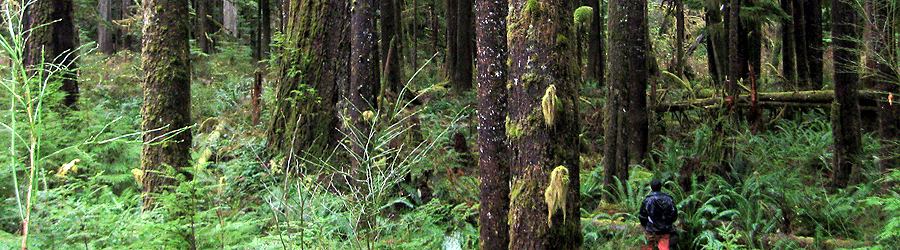
Hiking In & Around Tahsis
Coral Cave & The Lookout

A great place to start a more extended ecotourism hike is from West Bay Park, just past Maquinna Resort at the end of town.
There are shorter trails accessed from the turnaround at West Bay, or you can backtrack and go up the logging road (only during weekends when there is no active logging) and head for the Coral Cave or The Lookout. Either destination takes about 3 to 4 hours to reach, and both spots offer breathtaking views of the Tahsis Inlet. Currently access to the Coral Caves and The Lookout are blocked by a locked gate beyond this point is private property.
Maquinna Trail
This rugged route was immortalized in the book "White Slaves of the Nootka" as the ridge that ancestral Chief Maquinna sojourned on. It follows the ridge that rises between the Leiner and Tahsis River valleys, directly east of the village.
While the first part of the hike is moderately steep, the reward is increasingly spectacular views of Tahsis Inlet and the surrounding peaks.
Above 450 metres, the ascent is more gradual, although water is rare and should be carried. For the most intrepid mountaineers, an 8-kilometre (5-mile) hike along the gently undulating ridge will lead you to two small lakes below Mount Leiner.
Woss Lake Grease Trail
This ancient trade route was used by First Nations and crosses Vancouver Island from its southern terminus in Tahsis. Although not maintained as a marked route, this trail begins at the north end of the Tahsis dump. Go up North Maquinna Street to the north end of town and over the bridges.
The route follows the flat valley bottom, often following the Tahsis River or its dry (in summer) watercourse. Occasionally, it follows old remnants of a logging road left from when the valley was logged in the 1940s. Much of this road has been obliterated by river erosion since then.

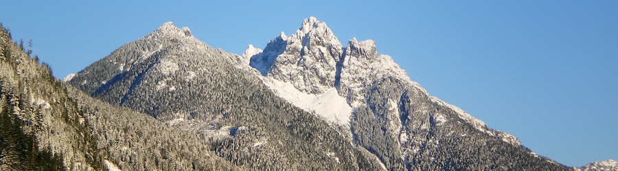
Spectacular views of Rugged Mountain greet visitors as they pass the base. Mountaineers may want to use this route as an access to the aptly named Rugged and its glacier, the largest on Vancouver Island. The glacier is a steep hike of 1,000 metres (3,200 feet), although there is no marked route up (refer to a topographical map).
The Woss Lake Trail ascends steeply only at the headwaters and reaches a high point of 550 metres (1,800 feet) before descending to Woss Lake at 140 metres (500 feet). There are no roads from this end of the lake (still within Rugged Mountain Provincial Park), but the other end is road-accessible from Woss. Arrange for boat pickup from this end of the Trail.
The total trail length from Tahsis dump to Woss Lake is about 12 kilometres (7.5 miles). Water is available along much of the route, and there are some nice wilderness camping spots in the upper reaches of the Tahsis River. There are opportunities for trout fishing in the river pools here. The trail is moderate in difficulty.
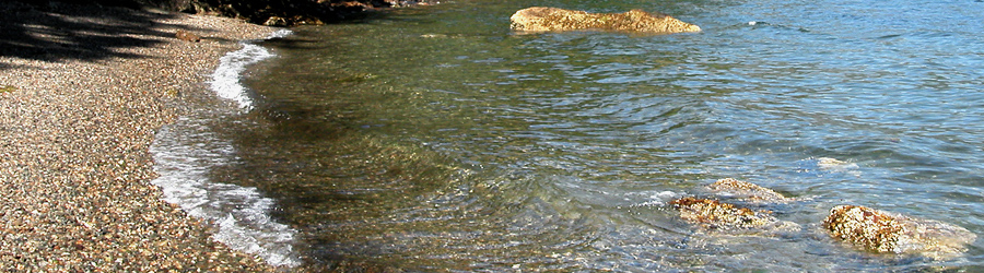
Nootka Trail

Hugging the west coast of Nootka Island, the Nootka Trail provides an unsurpassed ecotourism hiking experience featuring long beaches, secluded bays, and spectacular headlands jutting into the Pacific Ocean. The trail is not in a park and is maintained by volunteer efforts, but it is a relatively easy hike, which never rises more than 50 metres above sea level.
There are no facilities along the trail, although there are some private cabins at Beano Creek (do not disturb) and close to Friendly Cove (the latter are available to rent). Guidebooks are also available for this trail.
Most people take five days or longer to complete the walk.